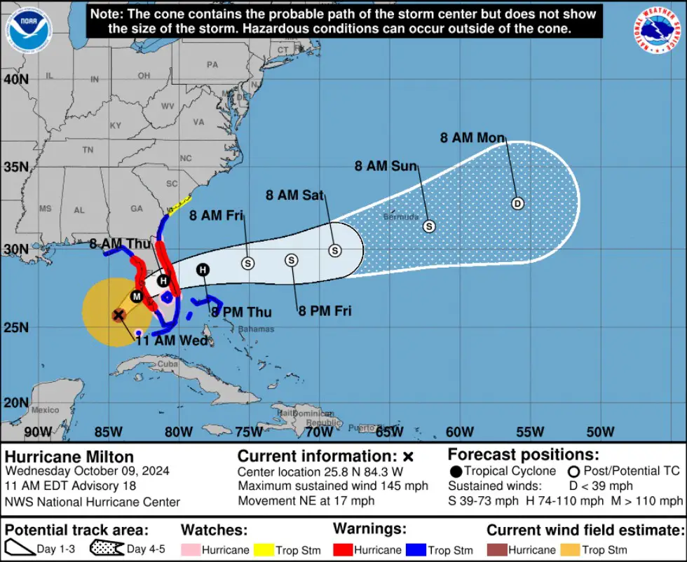
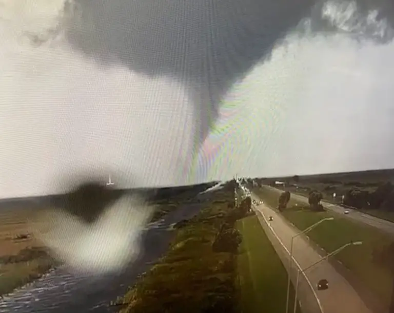
As if Hurricane Milton wasn’t enough, Florida is now dealing with another terrifying threat—tornado supercells. According to the National Hurricane Center, powerful storm systems capable of spawning tornadoes have begun sweeping across southern Florida as Milton, a Category 4 hurricane, approaches the state. The hurricane, currently 190 miles off the coast of Tampa, is packing winds of up to 145 mph and is expected to make landfall Wednesday night.
These tornado supercells are already causing chaos, with sightings reported near Broward and strong winds knocking down utility poles in Fort Myers. The storm surge in certain areas, particularly from Anna Maria Island to Boca Grande, is forecasted to reach up to 15 feet, posing a severe flooding risk. Even Tampa Bay, a heavily populated area, is bracing for storm surges as high as 12 feet.

Milton’s intensity is predicted to remain extremely dangerous as it moves across Florida through Thursday, before weakening once it reaches the Atlantic. Despite this, Floridians are urged to remain cautious, as the hurricane’s powerful winds, dangerous storm surges, and now tornado threats are creating an unpredictable and hazardous environment.
With waves crashing along St. Petersburg’s coastline and major areas already blocked off by authorities, the state is in full emergency mode. Residents in affected zones are being urged to follow evacuation orders as this historic storm unfolds.


