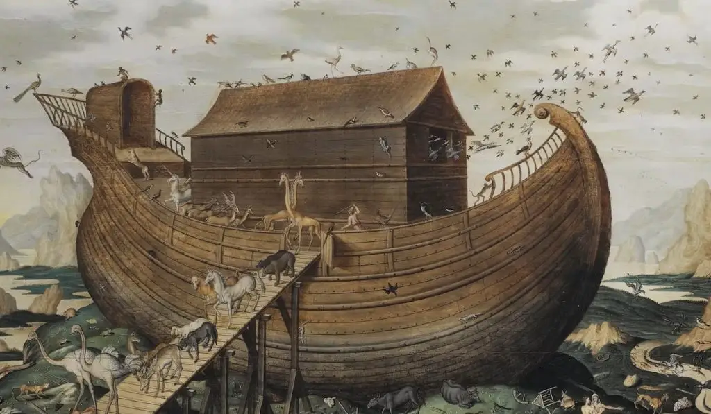
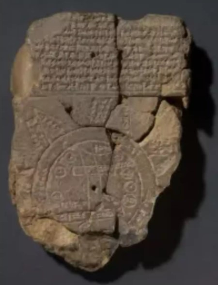
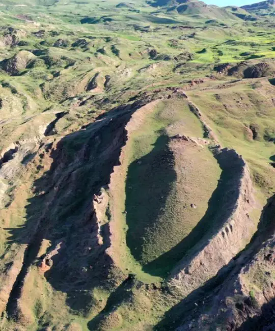
Researchers from the British Museum believe they may have uncovered the location of Noah’s Ark, based on details from a 3,000-year-old Babylonian tablet known as the Imago Mundi, regarded as the oldest map in history. The clay tablet describes an ancient journey, pointing toward a site thought to resemble Mount Ararat, which is often referenced in Mesopotamian and Biblical texts as the ark’s landing place.

British Museum curator Dr. Irving Finkel explained that the tablet’s symbols outline paths and specific landmarks encountered en route to this potential ark location. These landmarks, according to Finkel, include a route that stretches over seven leagues, leading to a large boat-like structure. The tablet’s symbols, which have cuneiform markings, detail measurements and materials suggesting a massive vessel intended to survive a flood.

The tablet, discovered in Iraq in 1882, features triangular markings that some researchers interpret as mountainous terrain, consistent with the rugged area surrounding Mount Ararat. Finkel noted the intriguing alignment between the Mesopotamian and Biblical flood narratives, indicating that both cultures may have shared a foundational story involving a great flood and a miraculous survival vessel.
The theory offers a possible historical basis for the Noah’s Ark story, intertwining Babylonian beliefs with Biblical lore. According to Dr. Finkel, the Imago Mundi’s instructions imply that a traveler would encounter remnants of the boat along the specified route, connecting ancient myth with tangible geography.
The discovery has sparked significant interest and speculation, as researchers and historians contemplate the implications of an ancient “map” directing explorers to Noah’s Ark.


